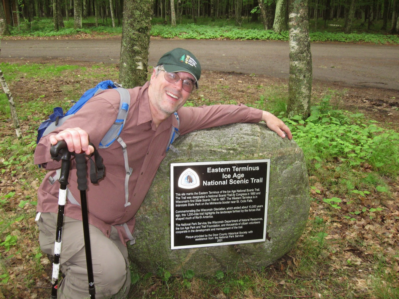
The Minnesota Hiking Celebration is over, but you can still
have your own celebration in the near future. All you need to do is to plan a
hike in Minnesota. And since I have
hiked around 600 miles of the North Country Trail, including it’s affiliated
trails the Superior Hiking Trail, Border Route Trail and Kekekabic Trail, I’m
one of the best persons to coach you on your trip. Please Copy and paste all links in this article.
Guidebooks
The First thing you need to do is to get a Guidebook for the
section of Trail you are interested in hiking.
The NCT in Minnesota now has complete coverage of the trail thanks to
the new book called “The Guide to the North Country Trail in Minnesota.” That book has detailed information and maps
for the NCT in North Central and North Western Minnesota from Remer, Minnesota
to near Detroit Lakes, Minnesota. It has
detailed information about the NCT in the Chippewa National Forest, Paul Bunyan
State Forest, Itasca State Park, White Earth State Forest and Tamarac National
Wildlife Refuge. And for full
disclosure, I am the book’s Map Illustrator.
It is available at the NCT’s online shop: http://northcountrytrail.org/shop/category.php?category_id=46
The Kekekabic Trail, Border Route Trail, and Superior Hiking
Trail all have produced updated versions of their Guidebooks over the last few
years. All are excellent resources for
planning a hike or backpacking trip. Go
to their websites kek.org, borderroutetrail.org and shta.org to order those
guidebooks. Also, if you are living in
the Twin Cities Area, Midwest Mountaineering usually carries all those
guidebooks.
Shuttles
If you want to cover more ground, having a shuttle that
takes you back to your car is the way to go.
Then you don’t need to cover the same ground twice by doing an out and
back to your car. Although, in some places,
like Lake Waboose, there is a really nice loop so you can get back to your car
at the end of the loop. But now we are
going to talk about shuttles. As far as
the Superior Hiking Trail is concerned the Superior Shuttle, which operates on
the weekends from Two Harbors to Grand Marais is the most popular. For the
details check their website here http://superiorhikingshuttle.com/
For Shuttling in the Duluth Area you can
actually use the city bus system in some cases. Beth Gauper of MidwestWeekends.com wrote an
excellent article that explains how to use buses for the SHT in Duluth. Check it out here: http://www.midwestweekends.com/plan_a_trip/outdoors_recreation/hiking/superior_hiking_trail_duluth.html
For specialized Shuttles for the Superior
Hiking Trail and Border Route Trail in the Grand Marais Area, contact Harriet
Quarles Transportation at 218-370-9164
For shuttles for the Kekekabic Trail and Border Route Trail, check out my
handout for a presentation I did at Canoecopia.
The handout is located here: http://docs.google.com/document/d/1CgGbkwmQ3D99BdQKfXFIkMCK7MVvEOvNv9ldDES_Gl4/edit?hl=en#
For Shuttles in the North Central and North Western area of
the North Country Trail in Minnesota, please contact the local chapters. You can find their contact information
here: http://northcountrytrail.org/get-involved/whoswh/ I’ve received shuttles several times from
local chapter members of the Itasca Moraine Chapter and the Laurentian Lakes Chapter
Photo Websites
I have just created a new website that has all my photos of the NCT in Minnesota. It is
nicely compiled so you can find the section you want to hike and then view the
photos. The website is located here: http://sites.google.com/site/nctinmnhikes/
You can also check out Luke Jordans photos and journals from
his 2013 Thru Hike of the North Country Trail.
Check it out here: http://www.stridernct.com/
Actual photos
And now to give you even more inspiration for hiking the NCT
in Minnesota, I’m posting a bunch of photos. Here they are in no particular order
 |
| Agamok Falls on the Kekekabic Trail |
 |
| Fifth Falls in Gooseberry River State Park (SHT) |
 |
| Split Rock Lighthouse, a side trip off the SHT |
 |
| A Large Field in Tamarac National Wildlife Refuge |
 |
| Old Indian Trailhead, Tamarac National Wildlife Refuge |
 |
| The Point on Tamarac Lake, Tamarac National Wildlife Refuge |
 |
| Western Minnesota Roadwalk, headed towards Fort Abercrombie, ND |
 |
| The overlook of the town of Grand Marais at the Pincushion Mountain Trailhead (SHT) |
 |
| The High Falls of the Baptism River, Tettegouche State Park (SHT) |
 |
| Moosehead Rock, Kekekabic Trail |
 |
| Moiyaka Lake (Kek) |
 |
| Old Obibwe's Face (Kek) |
 |
| Bingshik Lake (Kek) |
 |
| Paulson's Mine (Kek) |
 |
| Flooded Woods, White Earth State Forest |
 |
| Heading up the Milton Lakes Esker, Chippewa National Forest |
 |
| Cranberry Lake, Chippewa National Forest |
 |
| Long Lake Campsite, Chippewa National Forest |
 |
| Magnetic Rock, far western segment of the Border Route Trail |
 |
| The Duluth Lift Bridge (SHT) |
 |
| On Mt Tofte with Carlton Peak in the background (SHT |
 |
| Temperance River (SHT) |
 |
| Mountain Lake Overlook, Border Route Trail |
 |
| Lake Waboose Campsite, Paul Bunyan State Forest |
 |
| Nelson Lake, Paul Bunyan State Forest |
 |
| Iron Corner Campsite, Itasca State Park |
 |
| Bridal Veil Falls, Border Route Trail |
 |
| Rose Cliffs (BRT) |
 |
| Cascade River State Park (SHT) |
 |
| Devil's Track River Gorge (SHT) |
 |
| Ely's Peak (SHT) |
So have your own Minnesota Hiking Celebration. If you need some help in planning a trip, I'd be happy to share what I know. Contact me at isawtman@gmail.com. Happy Hiking!!!!


